Software solutions by experts
Home
System
Plugins Addons
Shape2Earth
Shape2Earth
(1 vote)
Shape2Earth leverages freely available and easy to use Geographic Information...
download
latest version, 100% clean
Key features
Screenshots
100% safe download
Download Shape2Earth
Latest version: 1.490
Developed by Google
License: Demo
Supported OS: Windows 11/10/8/7
Download
Shape2Earth
Comments
You can also post a Facebook comment
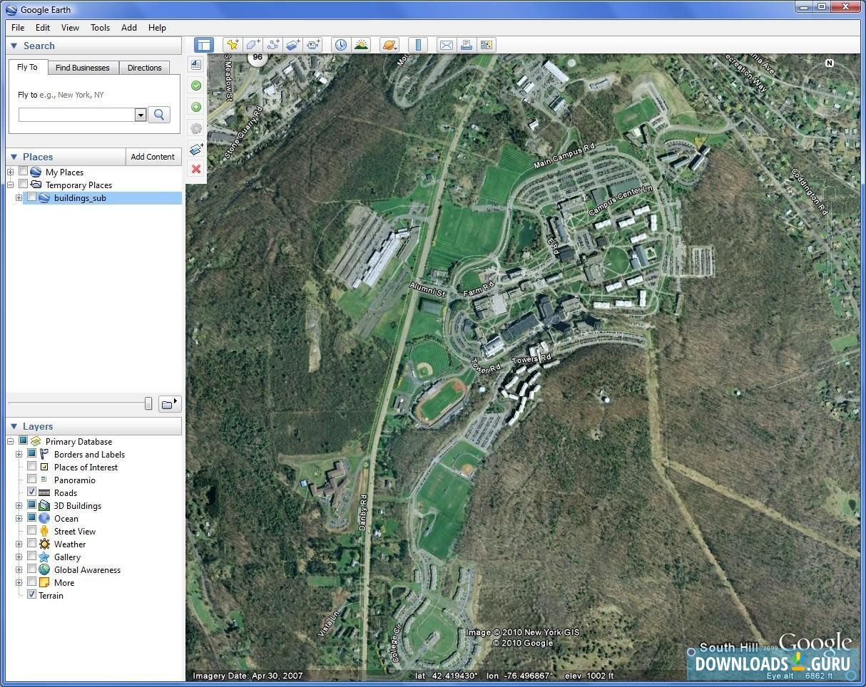
Main window
100% safe download
Successfully scanned by Google Safe Browsing.
The downloadable file is original. It has
not been modified
in any way.
Last checked: September 15, 2025
download
Google Safe Browsing
checked
Software picks
Top 5 Animated Screensavers for Windows
Software picks
Top 5 Free Auto Clicker Tools for Windows 10
Software picks
Local and Online Backup Services 2019
SideSync Alternatives to Manage Your Samsung Phone
Read more
Windows Tools 2019 for Instagram and Facebook
Read more
Download Shape2Earth
for Windows 11/10/8/7
Download for Windows 32/64-bit
All files are taken from original sources
and verified with multiple antivirus software.