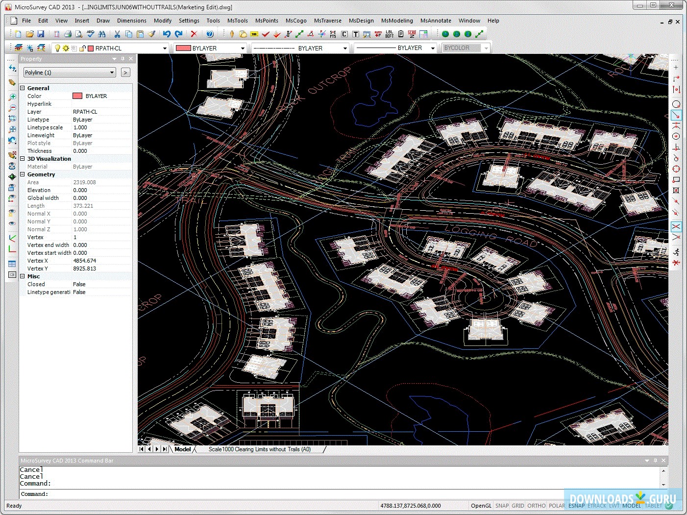
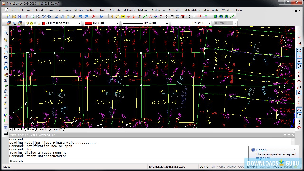
Create 2D plans for services, constructions, and infrastructure for different civil engineering projects. Process field data from total stations, GNSS, UAV, scanner, or photogrammetry. Have record entries automatically recorded and coordinate transformations. The solution is fully compatible with AutoCAD.
- Key features
- Screenshots
- 100% safe download
Pros
- 3D rendering
- Batch COGO
- Exports as DWG
Cons
- Loading a file with a point cloud might lead to a program crash
Download MicroSurvey CAD 2013
Latest version: 13.3.2.1
Developed by
MicroSurvey Software Inc.
License: Shareware
Supported OS: Windows 10/8/7
Update date: November 15, 2021
Download MicroSurvey CAD 2013
Comments
You can also post a Facebook comment